Eyes on the action
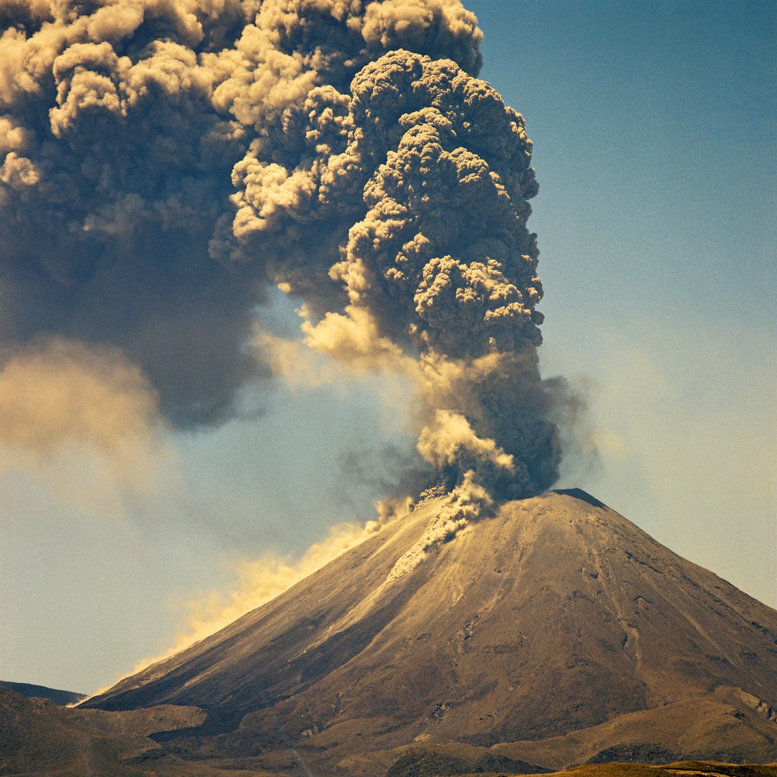
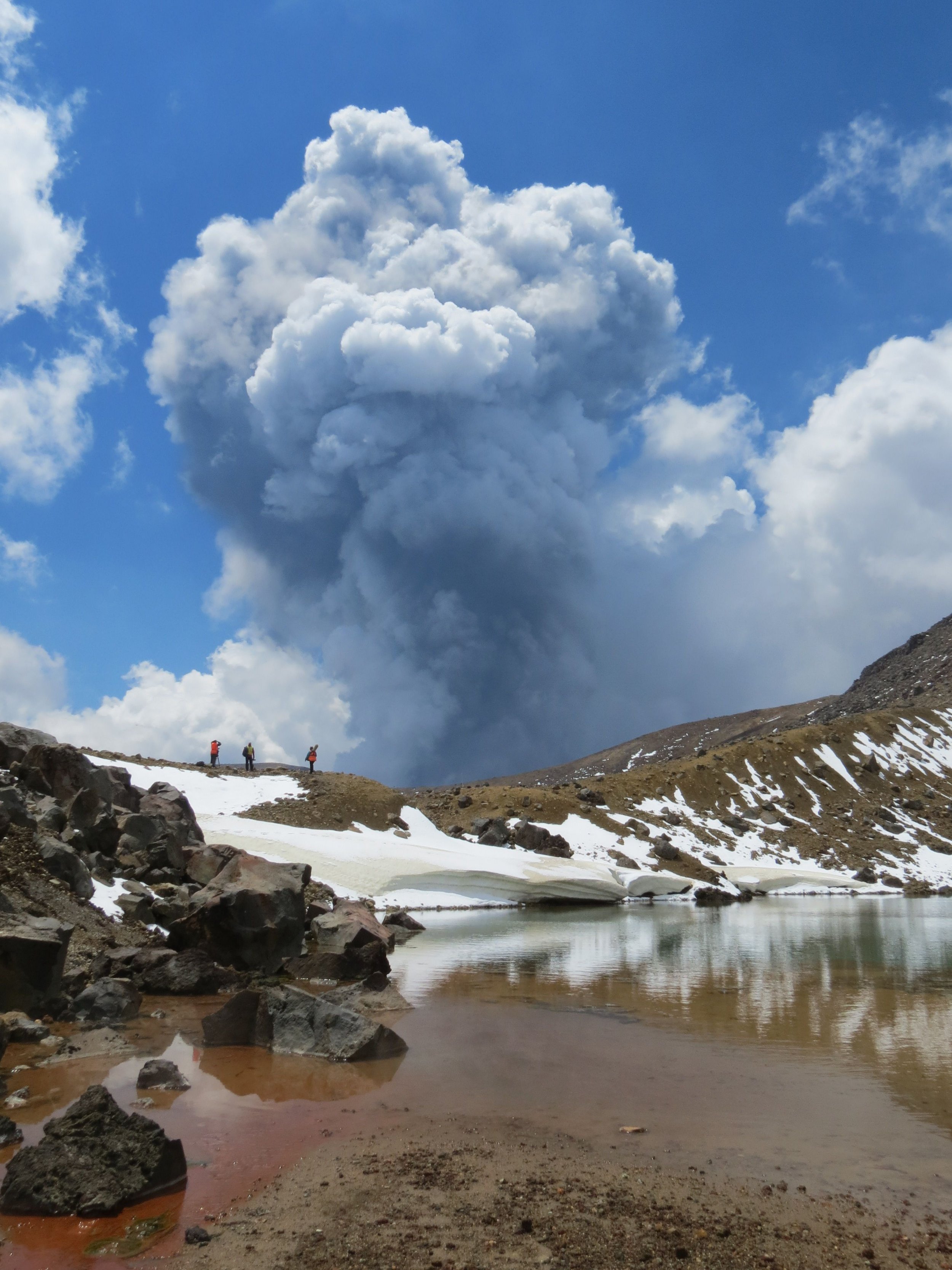
Ngauruhoe eruption 1973
By Dan Hutchinson
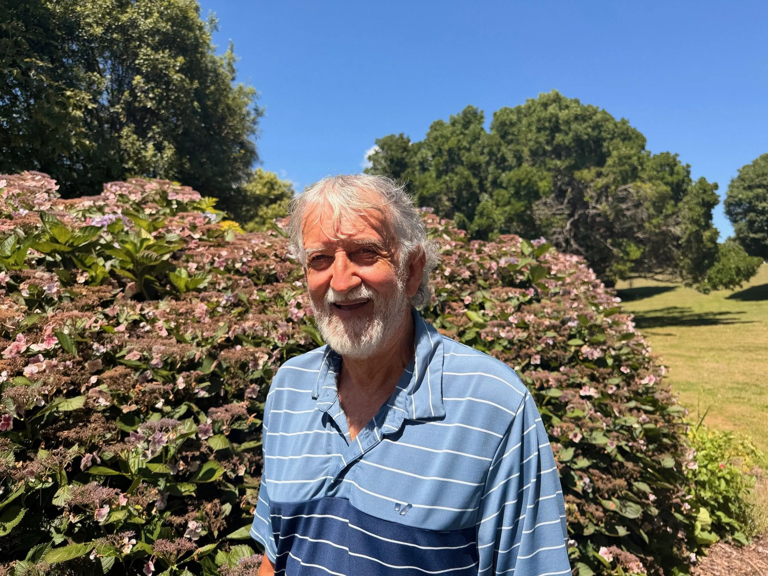
People living in New Zealand’s volcanic hot spots can rest a lot easier thanks to a lifetime of work by volcanologist Brad Scott.
Brad was a Lifetime Achievement finalist in the Science New Zealand Awards on Wednesday night.
He has spent five decades climbing volcanoes, in some of the most extreme landscapes in New Zealand, the South Pacific and even Antarctica.
His achievements include establishing the monitoring systems that warn New Zealanders when things start heating up within the complex underground systems.
Those decades of research and science underpin the hazard response in areas such as the Taupō Volcanic Zone and Taranaki.
He has witnessed eruptions at most of New Zealand's active volcanoes, from Ngauruhoe in the 1970s through to Ruapehu's major eruptions in 1995-96, Te Maari in 2012, and ongoing activity at Whakaari White Island.
His work has taken him to active volcanoes from Antarctica's Mount Erebus to submarine volcanoes in Tonga and Vanuatu, often supported by the New Zealand Defence Force.
Brad has been based at Earth Sciences and its variously named earlier versions of itself in Wairakei, just north of the country’s largest super-volcano Taupō, commuting from his home in another caldera volcano - Rotorua.
He began his career in 1973, drawn by the prospect of outdoor work but has been around volcanoes since he was a baby, thanks to his father who was a helicopter pilot who flew scientists around.
“When dad was working in the 1950s at Ngaurohoe, I was there … as I understand it from Mum and Dad, we stayed at the Chateau, we did flights … as a baby, I was carted around in the helicopter.”
When he left school, he took a science cadetship with DSIR because it was an outdoors job.
Brad groups his career achievements into three categories.
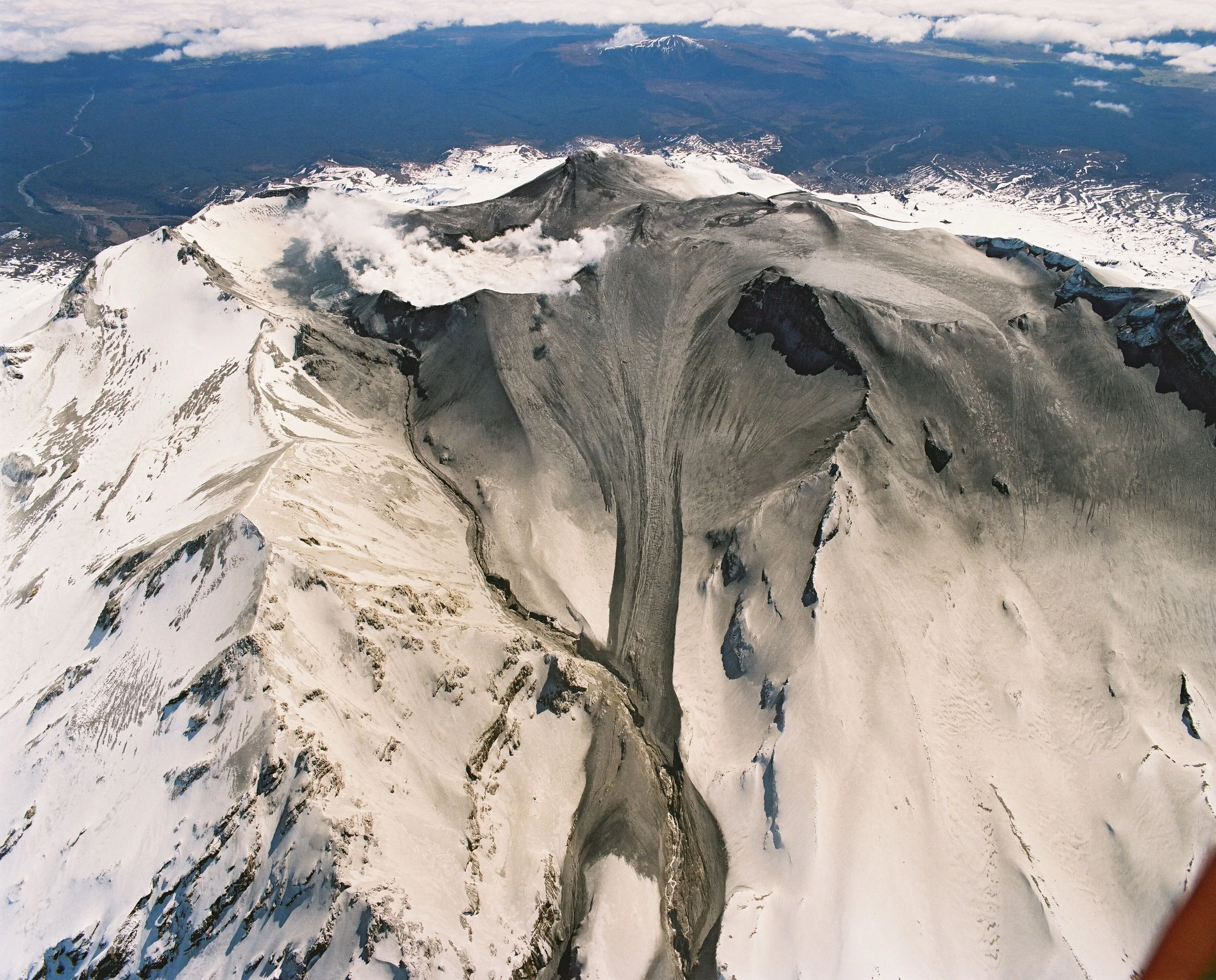
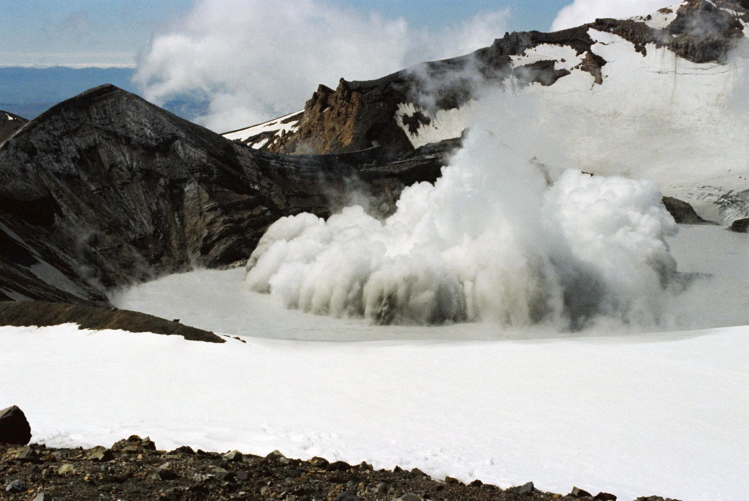
Mt Ruapehu eruption 1995-96
Number one is the establishment of the volcano monitoring network that provides real-time data on volcanic activity.
"Putting together the volcano monitoring group and creating that which gave us the capability to effectively monitor the volcanoes."
Before the era of satellite communications and the internet, monitoring volcanoes was a lot more physical.
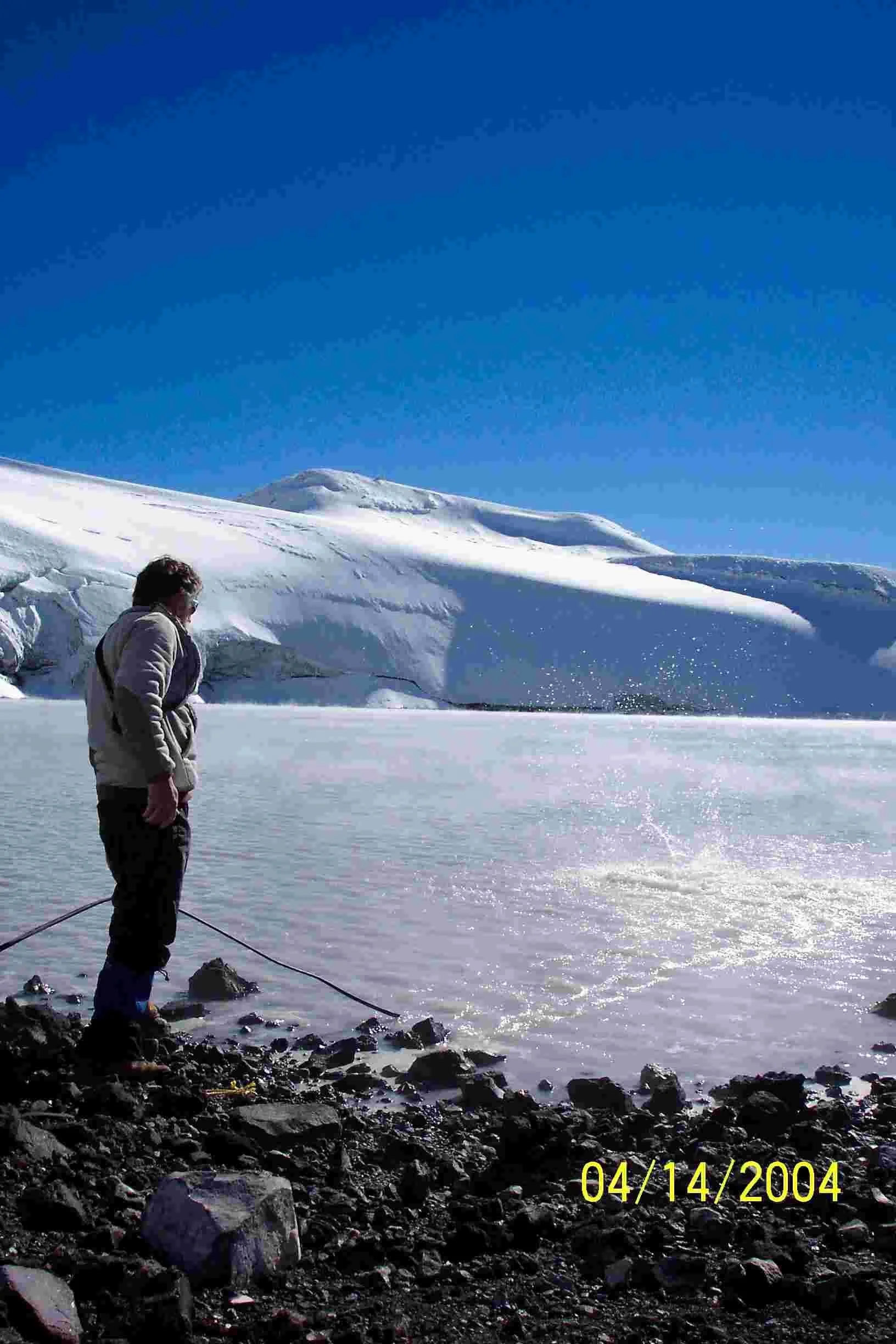
“If we wanted to know Crater Lake’s temperature, we had to climb up there and measure it.”
He mentors the younger generation of scientists these days but says the volcanoes did seem to get “bigger and steeper” as he got older,
The shift from manual to automatic monitoring systems has been a fundamental shift in volcanic surveillance, with the general public now able to access almost live updates.
Another major milestone in his career has been to translate scientific data into actionable information for emergency managers, the Department of Conservation, and iwi.
"We've now got the group and we're collecting great data about the volcanoes. How do we effectively use this, you know, with the end users and the responding agencies," Scott explained.
This work led to the creation of volcano advisory groups and the New Zealand Volcanic Alert Level system, which Scott helped design in 1994.
The system uses levels 1-5 to assess volcanic status, supported by detailed bulletins distributed simultaneously to everyone from the general public to the Prime Minister's office.
The third major strand of his career has been to develop evidence-based management plans for geothermal energy development.
This work helps regional councils to consider large geothermal energy projects alongside the effect on, and preservation of unique geothermal features.
Brad witnessed the 1995-96 Ruapehu eruptions, which demonstrated both the capabilities and limitations of volcanic monitoring.
The unrest began in November 1994, with eruptions in May and June 1995, before the strongest phase started in September.
"There was … almost a year of unrest and elevating growing unrest."
He says they can make educated predictions about what is about to happen but nowhere in the world can scientists predict the precise moment that a volcanic event will happen.
Safety is a big consideration for those working in the field and for those in the area. Common sense suggests that staying three to four kilometres away from active volcanoes will eliminate risk for most eruptions.
In some cases, volcanologists might make an “informed risk assessment” to get closer to obtain "perishable data" – samples that are only available during eruptions.
New Zealand's geography provides natural protection, with most cone volcanoes like those in Tongariro National Park having no permanent infrastructure within the danger zone.
He says the “fly in the ointment” is Lake Ruapehu’s Crater Lake which can generate floods during eruptions.
“They can reach the coast in a couple of the catchments."
Major caldera volcanoes like Taupo currently show only low-level volcanic unrest with no indication of magma chambers being primed for eruption.
Historical patterns suggest large volcanoes typically show years or decades of unrest before erupting.
Scott has officially retired but continues in an emeritus role, focusing on mentoring new scientists while maintaining involvement with monitoring around Rotorua, Taupō and Whakaari.
Brad admits he will often pull over on a drive through volcanic terrain if he sees and interesting outcrop or a rock.